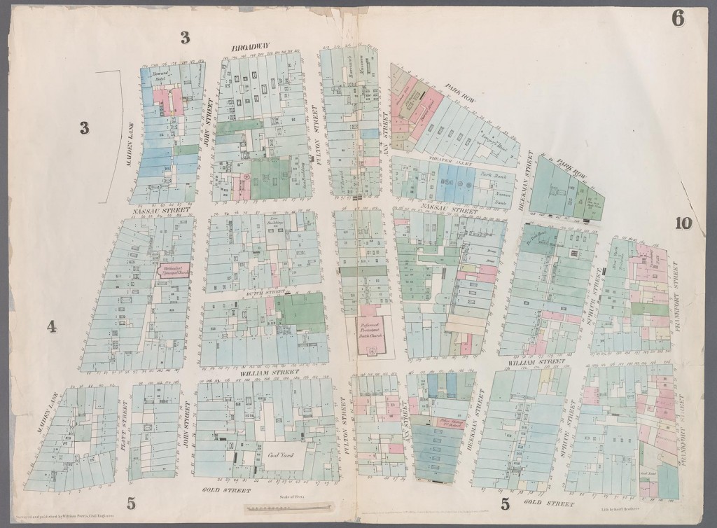
William Perris
[Map bounded by City Hall Square, Frankfort Street, Gold Street, Maiden Lane, Broadway, Park Row]
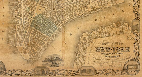
From William Perris, Maps of the City of New York (New York: Perris & Browne, 1857–62)
Hand-colored lithograph
Bound volume; 26 3/4 in. (68 cm)
The Lionel Pincus & Princess Firyal Map Division, The New York Public Library, Astor, Lenox and Tilden Foundations
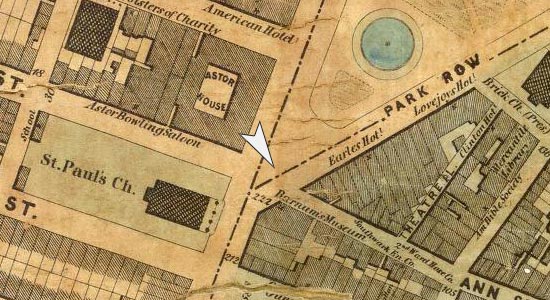
After a devastating fire in 1835 resulted in huge losses for insurance companies, British engineer William Perris was enlisted in the 1840s to map the new city, building by building. His widely successful maps, frequently reprinted during the 1850s and ‘60s, served to promote fire safety by color-coding the flammability of each structure. The maps helped subsequent surveyors, including Matthew Dripps, to document the ever-changing city and have enabled modern scholars to reconstruct the New York City of the period according to the social classes in different neighborhoods.
— Andrew Gardner